Index / Notes
Notes
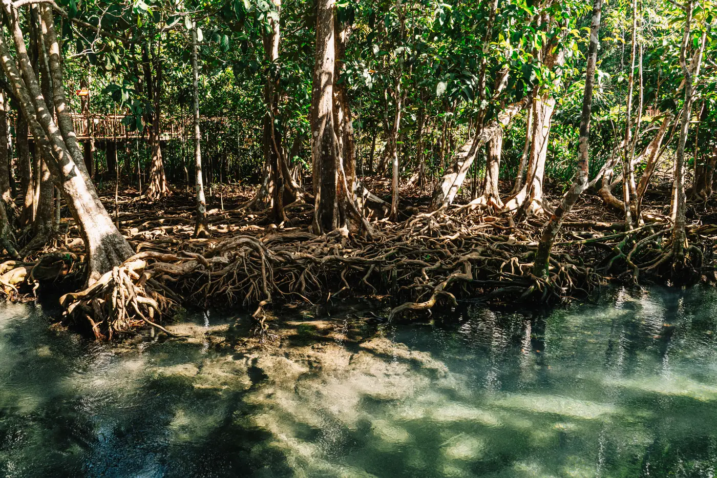 Field notes: the creek that cut through canopy and the registry's loss flag
A tidal creek migrated through our project's canopy and the registry flagged it as loss. Field notes on telling channel migration from the real thing.
 Cross-checking a mangrove extent layer against the permanence plan before submission
A practical sequence for matching your annual mangrove extent layer to the permanence plan before a registry submission, so the two documents agree.
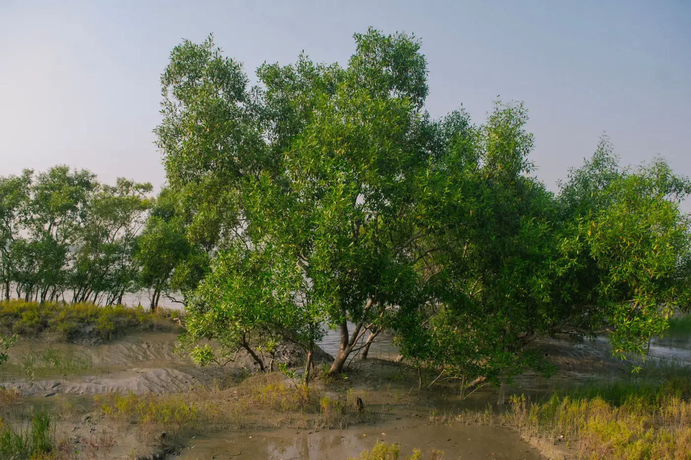 Mapping the mangrove edge in turbid estuarine water
Why mangrove canopy reads as mud in turbid tidal water, and the band combinations and tide-stage checks that fix the boundary line.
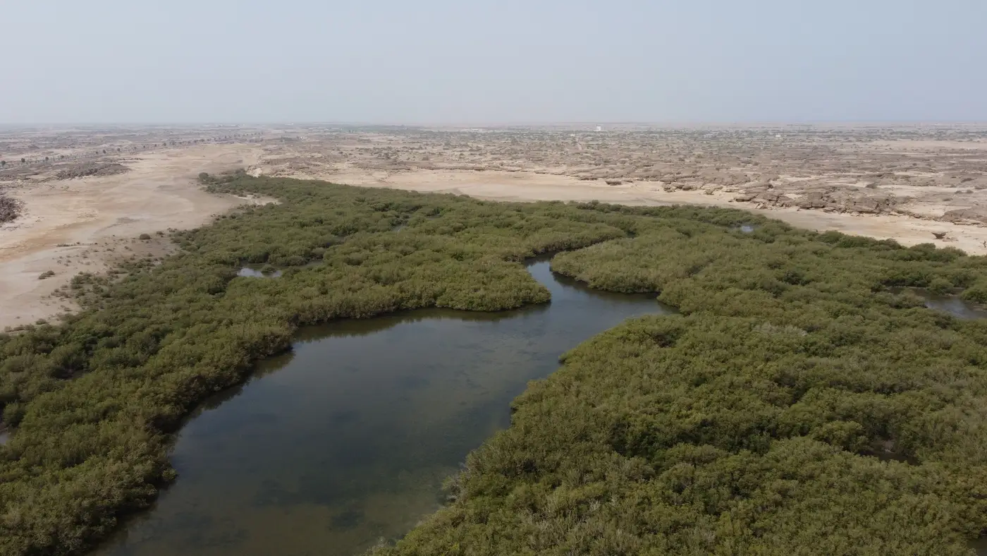 What is landward migration, and why your extent baseline needs to track it
What landward migration means for mangroves under sea level rise, and why it must be tracked separately from mapping noise in an annual extent baseline.
- Optical vs SAR for mangrove extent through monsoon cloud cover
Why SAR beats clouds but optical still draws the canopy edge registries want, and how to plan a mangrove extent pass around the monsoon window.
- Polygon drift between annual mangrove extent deliveries: what to do about it
Why this year's mangrove boundary never quite lines up with last year's, and how to reconcile the mismatch before it reaches your registry report.
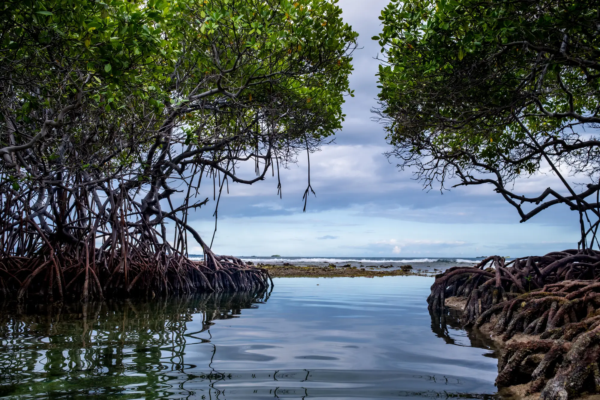 What positional uncertainty in a mangrove canopy boundary means
A plain explanation of positional uncertainty in mangrove canopy boundaries, why VM0033 reviewers ask about it, and what to report.
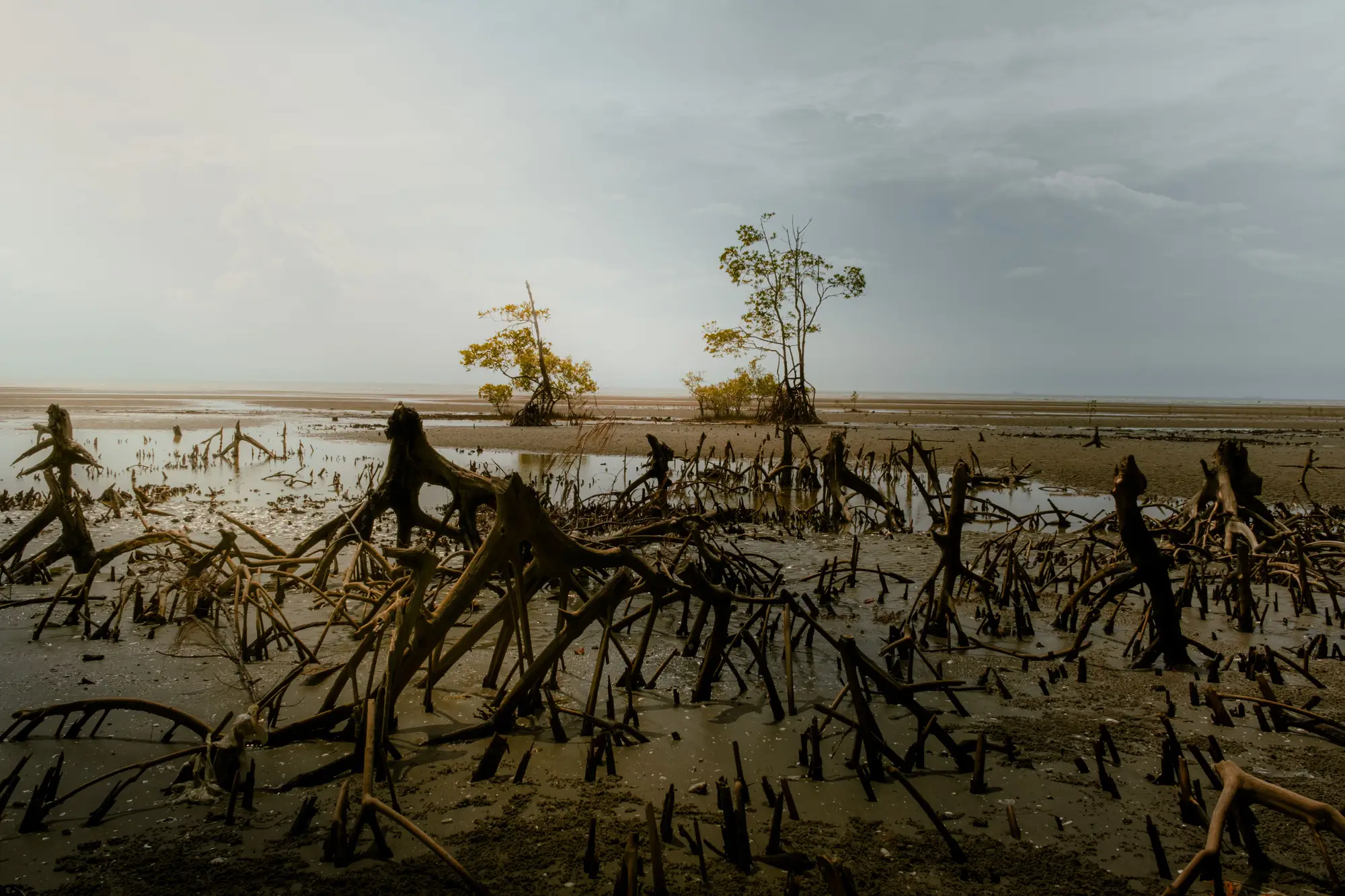 Field notes: the mudflat that turned into canopy between two annual passes
A field note on how bare mudflat recruits into young mangrove canopy between two annual passes, and why that edge is hard to call from one scene alone.
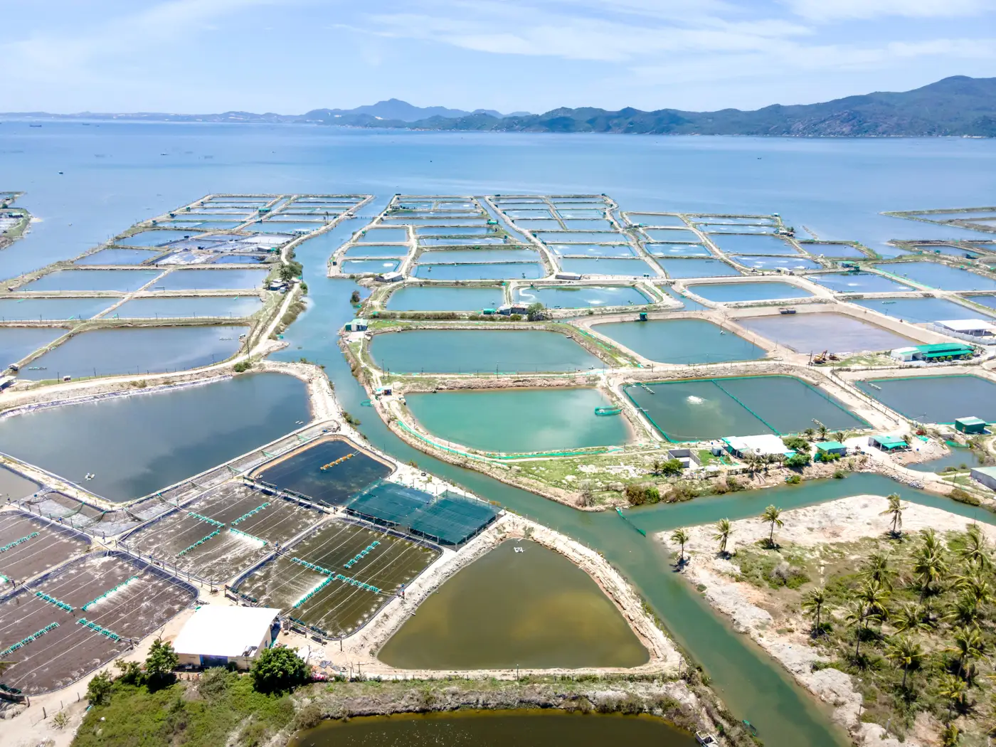 Shrimp pond conversion vs mangrove loss: telling them apart in satellite imagery
How to tell shrimp pond conversion apart from storm damage, erosion, and dieback when reading annual mangrove extent imagery for a registry report.
- GeoTIFF vs shapefile for your annual mangrove extent layer
Raster or vector for the mangrove canopy boundary in your registry report? What each format gives you, and why most reports need both.
- Regrowth vs. replanting: flagging the difference in your extent report
How to split regrowth from replanting in your annual mangrove extent report, so gain polygons match what the registry actually needs as evidence.
- Fringe vs basin mangrove: telling the two apart in satellite imagery
How fringe and basin mangrove read differently in high-res scenes, and why geomorphic setting matters when you're drawing the canopy line for a registry report.
- Mangrove degradation vs. loss: what your registry report actually needs
How registries distinguish mangrove degradation from loss, where canopy thinning fits, and why your extent polygon can't carry both claims.
- Hand-digitised vs satellite-derived mangrove extent maps: what changes year to year
A look at hand-digitised mangrove boundary maps versus satellite-derived extent polygons, and why the method matters for a registry-facing report.
- How tidal stage changes the mangrove canopy boundary in satellite imagery
Why a mangrove's satellite-mapped edge shifts between low tide and high tide scenes, and what that means for a registry extent report.
- How to pick a baseline year for a mangrove extent report
A practical look at choosing a defensible baseline year for mangrove extent reporting, and why the "cleanest scene" isn't always the right one.
- VM0033 monitoring requirements for mangrove extent, explained
What VM0033 asks for on mangrove extent tracking, and where hand-digitized boundaries run into trouble with verifiers.