Note /
What is landward migration, and why your extent baseline needs to track it
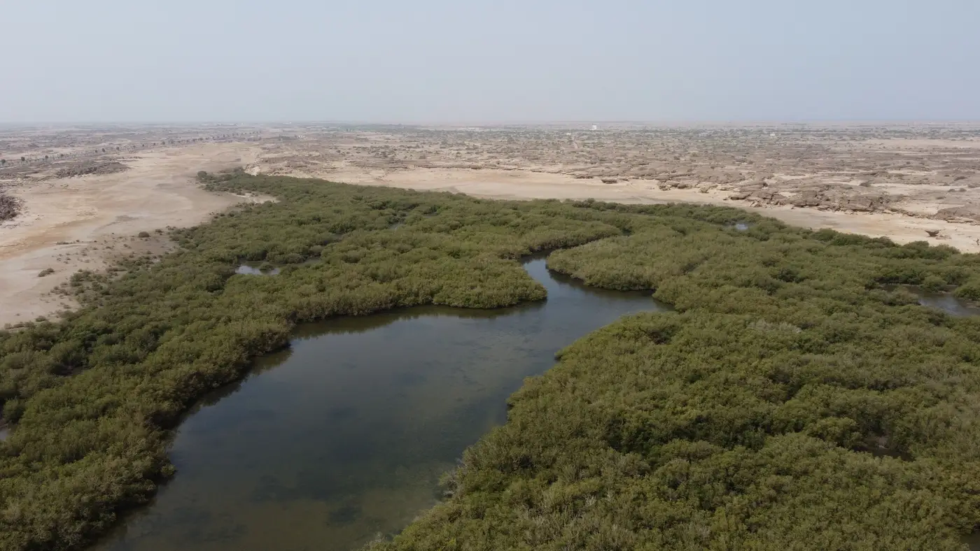
Mangroves don't sit still. As relative sea level rises, the seaward fringe can drown faster than sediment builds up under it, while the landward edge pushes inland into what used to be upland scrub, salt flat, or even an old rice paddy. That inland push is landward migration, sometimes called transgression in the coastal geomorphology literature. It's the mechanism by which a mangrove system keeps its total area roughly stable even as the coastline itself shifts, provided there's somewhere for the forest to go.
For a project developer filing an annual extent report, this isn't a side detail. It's the difference between a defensible monitoring record and a boundary line that no longer corresponds to where the forest is now.
Why the landward edge moves (and the seaward edge doesn't always keep pace)
Inundation frequency is the driver. Mangroves tolerate a narrow band of tidal flooding, enough to bring in sediment and nutrients, not so much that roots stay waterlogged past what the species can handle. When sea level rises faster than vertical accretion (sediment plus root mat building up the substrate), the seaward trees that used to sit comfortably in the mid-intertidal zone start flooding too often. Some die back. Meanwhile, ground that used to flood only on the highest spring tides starts getting regular tidal exchange, and propagules can establish there if the substrate and salinity allow it.
Run that process for a decade and the whole belt has walked inland, sometimes by a few meters a year, sometimes faster on low-gradient coasts. On a steep shoreline or anywhere there's a seawall, road embankment, or agricultural bund behind the forest, the landward edge has nowhere to go. That's coastal squeeze: the seaward edge still retreats, but the landward edge is blocked, so the net effect is just loss.
What this means for a baseline a registry will accept
A blue carbon project's monitoring report lives or dies on net change in extent and the carbon stock that goes with it. If this year's loss polygon on the seaward side is real dieback from inundation stress, and the landward side shows genuine new colonization, that's migration. It shouldn't be booked as net loss unless the project boundary itself doesn't extend far enough inland to capture the gain, in which case you have a baseline problem, not an ecological one.
A lot of what gets reported as "loss" or "gain" year to year is actually digitizing noise. Different cloud-free scene, different tide stage at acquisition, different analyst tracing the edge by eye, and the boundary shifts by meters that have nothing to do with the mangrove itself. When that noise is similar in magnitude to the real rate of landward migration, which on many coasts it is, a registry reviewer has no way to tell signal from artifact. The cost of baseline shift is that nobody can tell whether a change between reporting years is forest or methodology.
A consistent, dated extent layer, built the same way year after year from the same kind of source, is what fixes this. When the landward edge moves three meters into the old salt flat, that shows up as a dated gain polygon instead of disappearing into the gap between one analyst's trace and the next's.
That's the gap Mangrove Monitor is built to close: one annual canopy boundary, loss and regrowth polygons included, delivered as GeoTIFF and vector so it sits directly in the monitoring report next to last year's layer, not redrawn from whatever scene happened to be cloud-free this time around.
If your registry submission is due this reporting cycle and you need an extent layer that tracks the landward edge honestly instead of papering over it, that's exactly the gap worth closing before the next report is due.