Note /
Field notes: the mudflat that turned into canopy between two annual passes
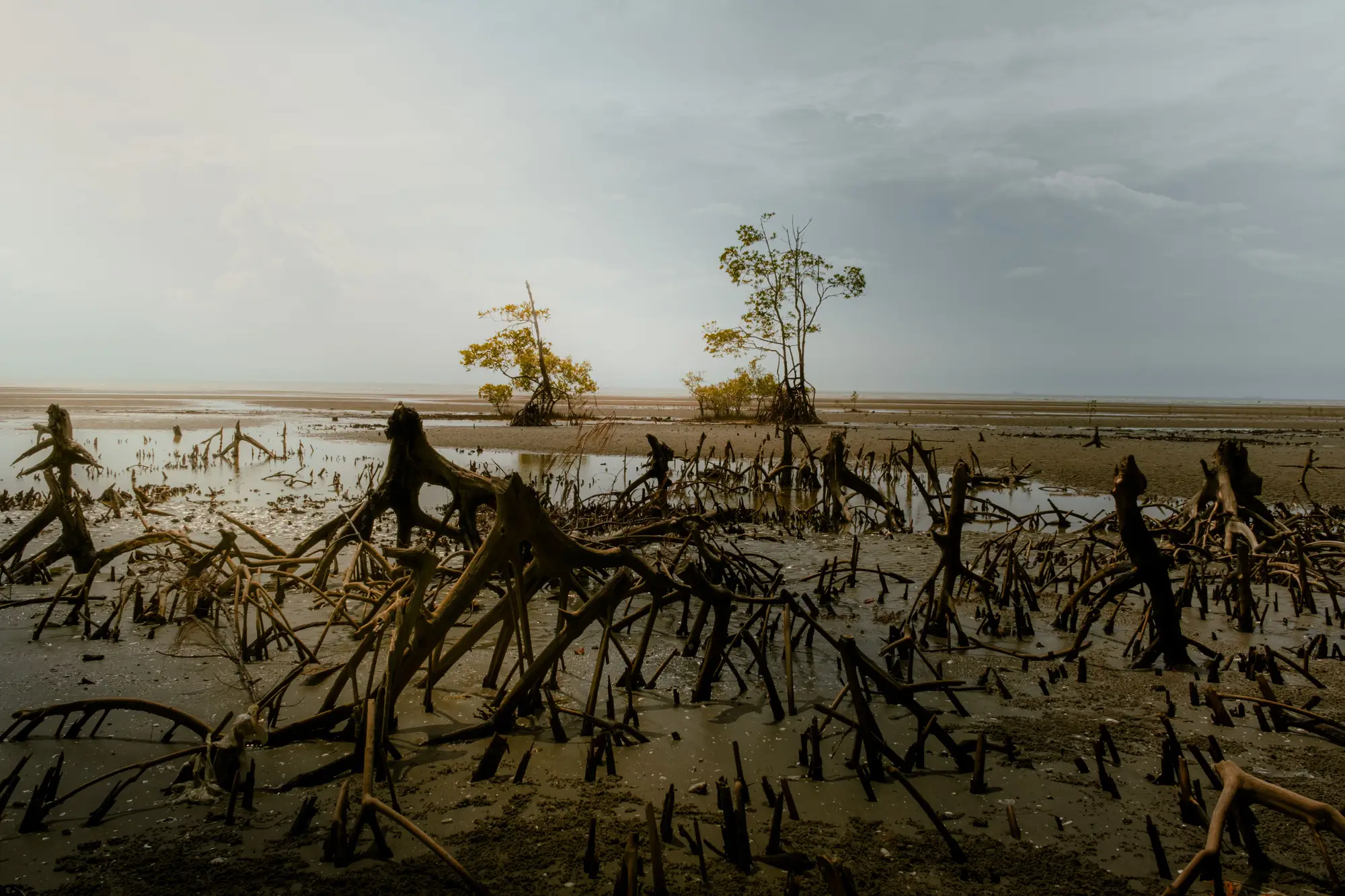
Last year's scene report called it bare substrate. Low-tide mud, a few scattered clumps too small to call either way, and a tide line that hadn't moved much since the pass before. This year the same polygon has canopy in it. Not a lot, maybe eight hundred square metres of young Avicennia marina, but enough that the boundary line has to move, and enough that someone on the project team is going to ask how we missed it.
We didn't miss it. It wasn't there.
This is the part of mangrove monitoring that doesn't photograph well for a donor update: the seaward edge doesn't creep forward at a steady rate you can extrapolate from last year's trend. It sits. A mudflat can sit exposed for three, four, five annual cycles with nothing but the odd prop root poking through, and then a season with the right combination of calm water, sediment deposition, and propagule supply comes along and the whole flat recruits at once. Pioneer stands don't ease in. They arrive.
Anyone who's walked a seaward fringe at low tide knows the mechanics even if the timing is unpredictable. Avicennia and Rhizophora propagules need a window where wave energy is low enough that a seedling can anchor before the next storm tide rips it loose. Get a calmer-than-average wet season, a good mast year for propagule drop upstream, and a flat that's been quietly accreting sediment under the surface the whole time nobody was photographing it, and you get what looks from above like the mudflat simply decided to become forest. From the ground it's less dramatic: knee-high stands at maybe two, three hundred stems per hectare, spaced the way pioneer cohorts always space themselves, close enough to look deliberate and far enough apart that you can tell nothing deliberate happened.
The problem for anyone writing an extent report is that this kind of colonisation event sits right at the edge of what a single cloud-free scene can tell you. At 0.5 to 2 metre resolution, a stand of first-year or second-year seedlings barely breaks the spectral signature of bare mud, especially if the canopy hasn't closed enough to shade out the understory signal. Catch the scene at the wrong tide stage and you'll either overcall exposed root mass as canopy or undercall a real stand as mudflat. We've had years where the honest call was to flag the polygon as "possible early colonisation, confirm next pass" rather than commit it either way, because the alternative is a boundary line that jumps around on nothing but imagery noise and makes the whole time series look unreliable to whoever's reviewing it at the registry.
What actually settles it is the second look. A single pass is just a frame. The pair of passes, a year apart, same sensor class, same rough tide window if you can manage it, turns "something changed here" into a polygon with a date on it and a direction. That's the difference between a boundary that moves because the mangrove moved and a boundary that moves because last year's scene had more glare off the mudflat. A project claiming regrowth or new extent for a registry needs that second frame to exist and to be comparable, not just available.
This is more or less the whole case for Mangrove Monitor: one dated extent layer a year, pinned to the project's own reporting cycle, built so this year's canopy boundary and loss and regrowth polygons sit next to last year's without anyone having to explain why the methodology shifted or the scene was taken at a different tide. The mudflat that turns into canopy between two passes is exactly the kind of event the annual layer is built to catch cleanly, as a dated polygon rather than a footnote explaining why the map disagrees with the field notes.
If your reporting cycle has one of these edges sitting in it right now, waiting to be called one way or the other, that's worth a look before the next scene window closes.