Note /
Optical vs SAR for mangrove extent through monsoon cloud cover
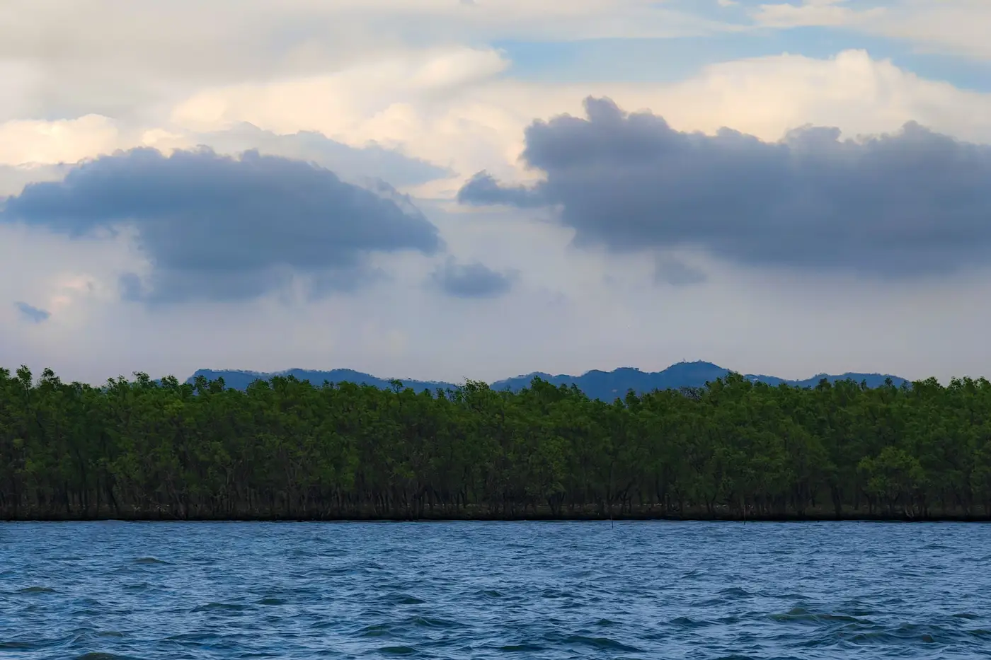
Every blue carbon project sitting on a monsoon coastline runs into the same wall each reporting cycle: the scene you need is the scene the clouds ate. A Sentinel-2 tile or a tasked high-res order comes back at 40% cloud fraction right over your project polygon, and now you're choosing between a gap-filled composite and pushing the acquisition date past when the registry wants it.
For a project team, this shows up less like a remote sensing debate and more like a scheduling problem. The tasking order lands cloud-covered the week you needed a dated scene, and the options are a stitched composite or a later date that doesn't quite match last year's window.
What SAR actually buys you
Synthetic aperture radar, with Sentinel-1 being the free, public option most teams have already poked at, sends its own signal down and reads the backscatter. Cloud doesn't matter. Neither does nighttime. For a coastline under months of monsoon cover, that's the real appeal: a SAR pass is close to guaranteed no matter what the sky is doing that week.
The catch is what backscatter tells you. C-band SAR responds to canopy roughness, standing water under the stand, and the double-bounce effect off trunks and waterline that makes a mangrove stand read differently than dry forest. That's genuinely useful for flagging flooded extent or catching gross deforestation between scheduled passes. It's a weaker tool for the thing a registry wants on an extent map: a clean canopy edge and a loss/regrowth polygon you can trace against last year's layer. There's no NDVI-equivalent in backscatter, and telling early regrowth from scrub, or a thinned canopy from a healthy one, is a much harder read than it is in multispectral.
Why the extent line still runs on optical
Multispectral optical imagery is what draws the edge most verifiers expect to see: a vegetation index, a canopy boundary that holds up under visual QA, loss and regrowth polygons you can diff against the prior year. A cloud-free pass over a tropical coastline in monsoon season is a narrow window, sometimes a handful of days. Grab whatever scene happens to clear and the acquisition date drifts year to year, and the comparison gets noisier than the actual change on the ground.
Most project teams get by on one good optical pass a year, timed to the dry-season gap or the best window the reporting cycle allows, processed the same way every year so the boundary stays comparable. Sentinel-1 or another SAR source earns its keep as a sanity check between scenes, confirming that an area optical flagged as "loss" wasn't a cloud shadow misread, or catching a storm-damaged section before the next scheduled pass. It's not the layer that goes in the monitoring report next to last year's polygons.
Scene selection and compositing around the monsoon window is exactly the part that eats a project's time every cycle. Mangrove Monitor delivers that annual canopy boundary, loss, and regrowth layer as GeoTIFF and vector, dated and sourced, matched to the project's own reporting cycle rather than whatever scene happened to clear.
That's the actual trade: SAR for certainty of a pass through the cloud, optical for an edge a registry can read and compare. Most projects need the second one, dated and consistent, more than they need the first one running live.
If your extent map is still a different composite every year depending on what cleared, it might be worth seeing what a matched annual pass looks like instead.