Note /
Cross-checking a mangrove extent layer against the permanence plan before submission
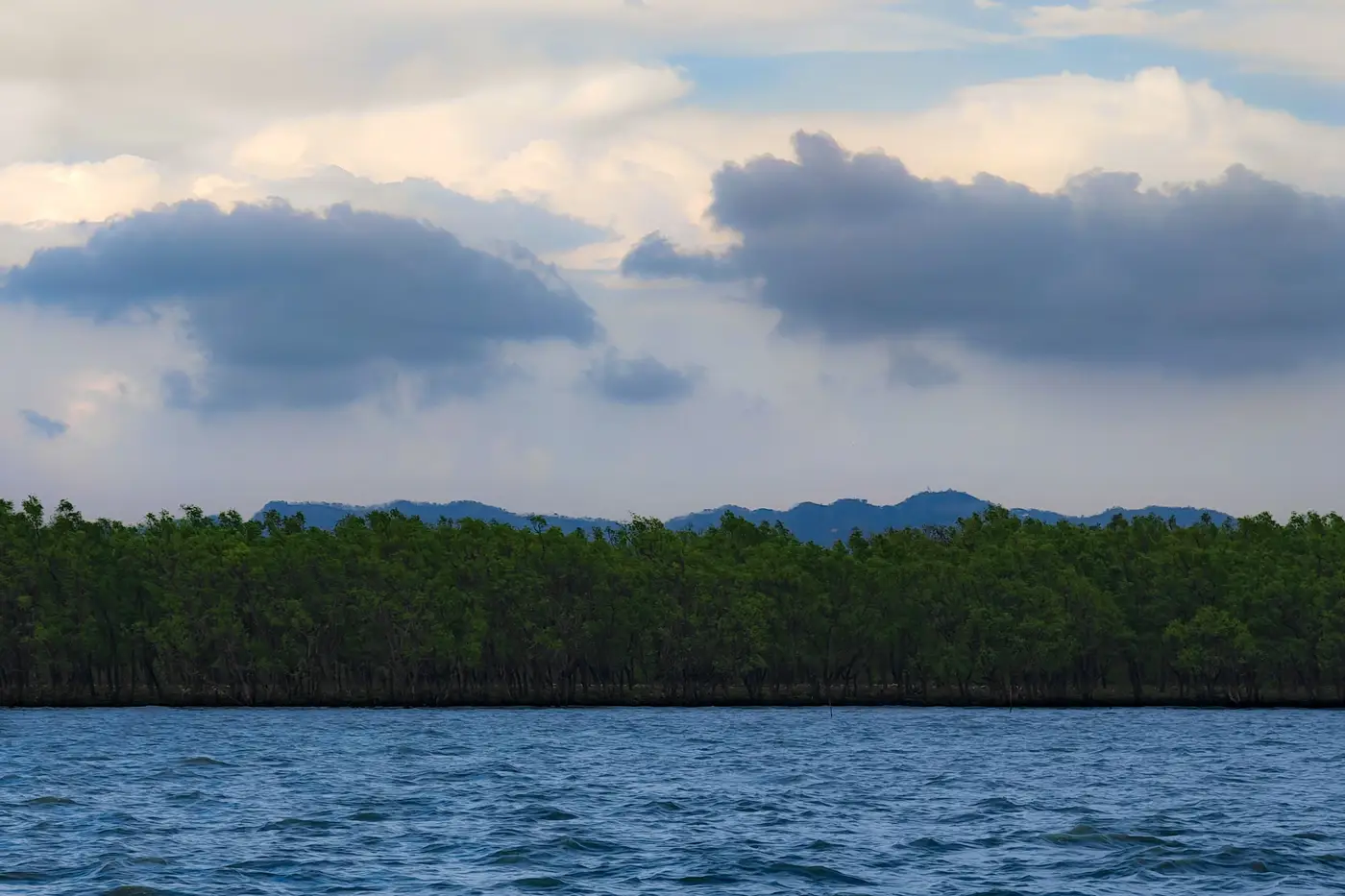
Every registry submission season, the same mismatch shows up late: the extent layer says one thing, the permanence plan says another, and nobody caught it until a reviewer did. Catching it earlier just takes a short, deliberate pass where you read the two documents side by side before the report goes out the door.
What the permanence plan actually commits you to
A permanence plan ties the project to specific numbers. A minimum canopy cover threshold for the core zone. A buffer pool contribution formula pegged to documented loss events. Boundary coordinates for the project area and any leakage belt. A monitoring cadence that says how often extent gets checked and reported, usually tied to a season.
Each of those commitments has a counterpart somewhere in your spatial data. If the plan says canopy cover will not drop below a given percentage of baseline, the extent layer needs to be able to answer that question for the reporting year, not just show a boundary line.
Where extent layers and permanence plans drift apart
Most mismatches fall into a handful of repeat patterns. The project boundary in the plan uses coordinates from the original PDD. The extent layer on file was digitized off whatever cloud-free scene a technician had on hand that year, and the two boundaries don't sit on top of each other. Loss polygons get labeled "loss" without distinguishing a dieback event that's genuinely gone from a tidal flat that was briefly exposed at low water during image capture. Regrowth polygons show up in the extent layer, but the permanence plan's baseline year predates the restoration planting, so a reviewer can't tell if it's regrowth against baseline or ordinary canopy closure. And the monitoring cadence in the plan specifies a dry-season window, to avoid cloud cover and tidal confusion, while the extent layer on file was captured eight months off that mark.
These catch a second set of eyes on a quiet afternoon, if someone actually runs the comparison instead of assuming last year's QA still holds.
A working sequence before you submit
Pull the permanence plan's boundary coordinates and overlay them on the extent layer's project boundary. Flag any gap, even a sliver, and get an explanation for it before the registry asks for one.
Check the capture date on the extent layer against the monitoring cadence written into the plan. If the plan specifies a season or a maximum gap between reports, confirm the imagery date falls inside that window.
Walk the loss polygons against your project log, a storm surge, a die-off, an authorized thinning, whatever's already documented there. A loss polygon with no corresponding log entry is either new information worth chasing down or a classification error worth fixing now.
Match the regrowth polygons to the plan's buffer pool logic. If regrowth is meant to offset a prior loss event for buffer accounting, the extent layer needs to show that pairing clearly, dated, rather than leaving the reviewer to infer the sequence.
Check units and format last. A registry submission checklist usually specifies GeoTIFF plus vector, projected in a particular coordinate system. A layer that's correct but delivered in the wrong format just adds a round trip before the deadline.
This doesn't replace the judgment of whoever signs the monitoring report; it just means the extent layer and the permanence plan tell the same story when the reviewer opens the file, instead of two slightly different ones somebody has to reconcile by phone.
If this reconciliation is something you redo by hand every year off whatever scene happened to be cloud-free, an annual extent layer built to sit next to the monitoring report is a simpler place to start: canopy boundary, loss and regrowth polygons, dated and sourced, delivered as GeoTIFF and vector.
Mangrove Monitor runs that pass once a year, matched to your reporting cycle, so the cross-check takes an afternoon instead of a scramble before the deadline.