Note /
Field notes: the creek that cut through canopy and the registry's loss flag
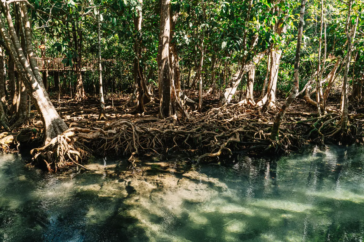
We nearly reported a loss that wasn't one.
It was the fifth-year monitoring cycle, the kind of milestone the registry pays close attention to, and the extent comparison came back showing a gap of just over three hectares along the eastern fringe of the project area. Canopy that had been there in the baseline polygon, gone in this year's scene. Our monitoring lead flagged it before the report even went out: "something ate the mangrove at the Kilim inlet."
Nothing had eaten the mangrove. A tidal creek had moved.
Estuarine mangrove systems sit on soft, recently deposited sediment, and that sediment does not hold still. Over a couple of wet seasons, a feeder creek on the project's eastern edge had cut into its own bank, undermining the root mass on the outside of a bend while a sandbar built up on the inside. Trees on the cut bank slumped into the channel as the roots lost their footing. By the time the dry-season scene was captured, there was open water and bare mud sitting exactly where canopy had been mapped at the start of the crediting period. On paper, against a two-point comparison, that reads as straight loss.
The registry's query came in about ten days after we submitted the annual report. Polite, direct, exactly the question you'd want asked: the extent polygon shows a reduction against baseline in sector 4, can you confirm cause. We didn't have a confirmed cause yet. We had a hunch and a long afternoon ahead of us.
What settled it was going back through the imagery at a finer time step across both wet seasons instead of just comparing two annual snapshots. Month by month, you could watch the channel's centerline walk sideways, a few meters at a time, always in the same direction. The point bar on the inside of the bend wasn't bare for long either. Seedlings had already taken on it by the second wet season, the kind of pioneer stand you get on fresh accretion. The canopy was moving within the system, cut bank to point bar, the pattern a meandering channel leaves behind as it migrates.
That distinction, between a channel doing what channels do and an actual loss event, is the whole difference between a clean annual review and a drawn-out verification headache. Dieback from a salinity spike looks different. A shrimp pond cut into the fringe looks different, with straight edges and bare water that doesn't come back. A creek avulsion looks like loss only if you're comparing two single dates and don't have the months in between.
I've heard versions of this story from two other project developers now, both working deltas with soft, mobile sediment, both getting the same flavor of registry query after an active wet season. One of them lost three weeks chasing field verification for a loss event that turned out to be forty meters of channel migration. It's a recognizable pattern in this trade now, common enough that it probably deserves its own line in the monitoring report template: expected geomorphic change, not a credit-relevant loss.
What would have made our ten days shorter is having the extent layer broken into loss and regrowth polygons from the start, each one dated and tied back to the scene it came from, instead of a single boundary line redrawn fresh each year from whatever cloud-free pass we could get. We've since moved our own reporting over to exactly that kind of layer, and it's the reason this site exists; have a look at the Mangrove Monitor landing page for what an annual extent delivery built for this question looks like.
Next wet season, when that same creek keeps doing what creeks do, we'll have the paper trail ready before the registry has to ask for it.