Note /
Fringe vs basin mangrove: telling the two apart in satellite imagery
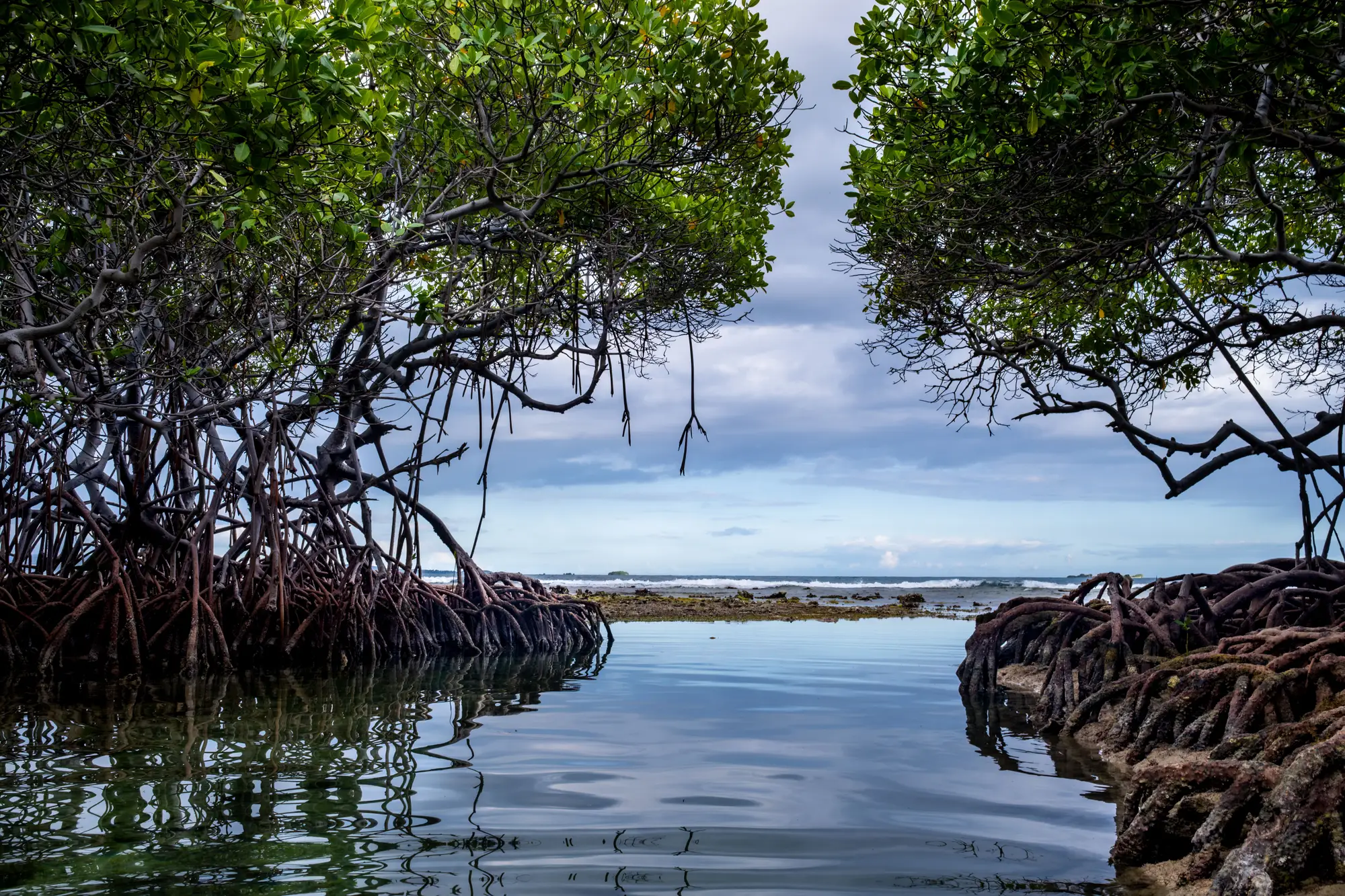
If you've spent any time ground-truthing a mangrove boundary, you already know fringe and basin stands don't behave the same way, and they don't look the same on a scene either. The split matters for more than taxonomy. A registry reviewer who sees your loss polygon sitting in a basin forest is going to ask a different question than one who sees it along a tidal creek bank, because the drivers of change are different in each setting.
What separates a fringe stand from a basin stand
Fringe mangrove sits along the edge, the open shoreline, a tidal creek bank, a river mouth where salt water moves in and out on every tide. It's flushed twice a day, gets a steady supply of sediment and nutrients, and tends to grow as a linear band a few trees deep before the understory changes to something else. Basin mangrove is the opposite story: it sits back from open water, in a depression or backswamp that only floods on spring tides or during storm surge, water sits longer before it drains, and salinity can swing harder between wet and dry season. The trees are often shorter, more even-aged, and the canopy reads flatter because the whole stand sits under roughly the same stress level, not a gradient from wet edge to dry edge.
This isn't an academic distinction. A fringe stand that loses canopy from erosion tells you something about shoreline retreat. A basin stand that loses canopy tells you something about hydrology, maybe a blocked tidal channel or a road culvert that changed the flushing regime. Your report needs to say which one happened.
Reading geomorphic setting off the scene
In a high-resolution multispectral pass, the two settings leave different signatures even before you look at the trees. Start with position: trace the drainage network. Fringe mangrove hugs the channels and the open-water edge, usually as a band one to three canopy widths wide. Basin mangrove sits in the interstitial space between creeks, often in a roughly circular or irregular patch with no direct line to open water, sometimes with a visible levee or scroll ridge marking the old channel it's cut off from.
Canopy texture is the second tell. Fringe stands get regular tidal exchange and tend to show even greenness and tight canopy closure right up to the water's edge, a sharp line between canopy and open water with almost no transition zone. Basin stands show more patchiness: stressed patches, dieback rings around salt pans, and a softer boundary where the canopy thins into scrub or bare ground before it meets anything you'd call open water.
Shadow and structure help too, especially at sub-2m ground sample distance. Fringe mangrove, growing taller under better flushing, throws longer shadows and a rougher canopy top in the imagery. Basin mangrove, shorter and even in height across the stand, reads flatter and brighter, with less shadow fraction per hectare even at the same sun angle.
None of this replaces a field visit. But if you're triaging which polygons need a closer look before you finalize a monitoring report, geomorphic setting read off the scene gets you most of the way there, and it's a faster first pass than redrawing the whole boundary by eye every year.
Why it matters for your extent map
A registry asking for an annual extent report usually wants more than a hectare number. It wants the loss and regrowth polygons dated and, where possible, tied to a plausible cause. Classifying by geomorphic setting before you digitize gives you that context without extra fieldwork: it tells a reviewer whether this year's change sits in the zone exposed to shoreline dynamics or the zone exposed to internal hydrology, and that shapes whether the change looks like something to flag or something expected.
Mangrove Monitor builds the canopy boundary, loss, and regrowth polygons each year from a high-resolution multispectral pass, dated and sourced so you can drop the layer straight into the reporting cycle without redrawing the edge from whatever scene happened to be cloud-free that year. If an annual extent layer like that would save you a season of manual delineation, take a look at what's on offer.